Clustering Images of the Seafloor
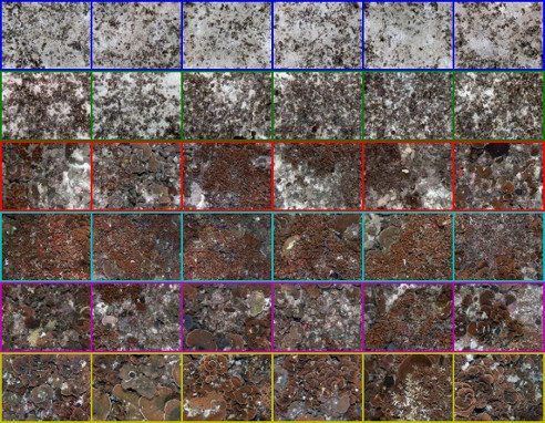
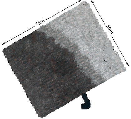
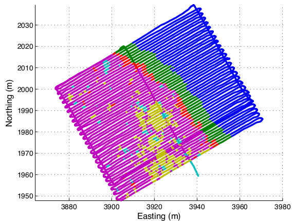
I have applied a Bayesian non-parametric algorithm, the variational Dirichlet process (with Gaussian clusters), to clustering large quantities of seafloor imagery (obtained from an autonomous underwater vehicle or AUV) in an unsupervised manner. The algorithm has the attractive property that it does not require knowledge of the number of clusters to be specified, which enables truly autonomous sensor data abstraction. The underlying image representation uses descriptors for colour, texture and 3D structure that are obtained from stereo cameras. This approach consistently produces easily recognisable clusters that approximately correspond to different habitat types. These clusters are useful in observing spatial patterns, focusing expert analysis on subsets of seafloor imagery, aiding mission planning, and potentially informing real time adaptive sampling. See my ISRR paper for more details.