Landshark - Large-scale Spatial Inference with Tensorflow
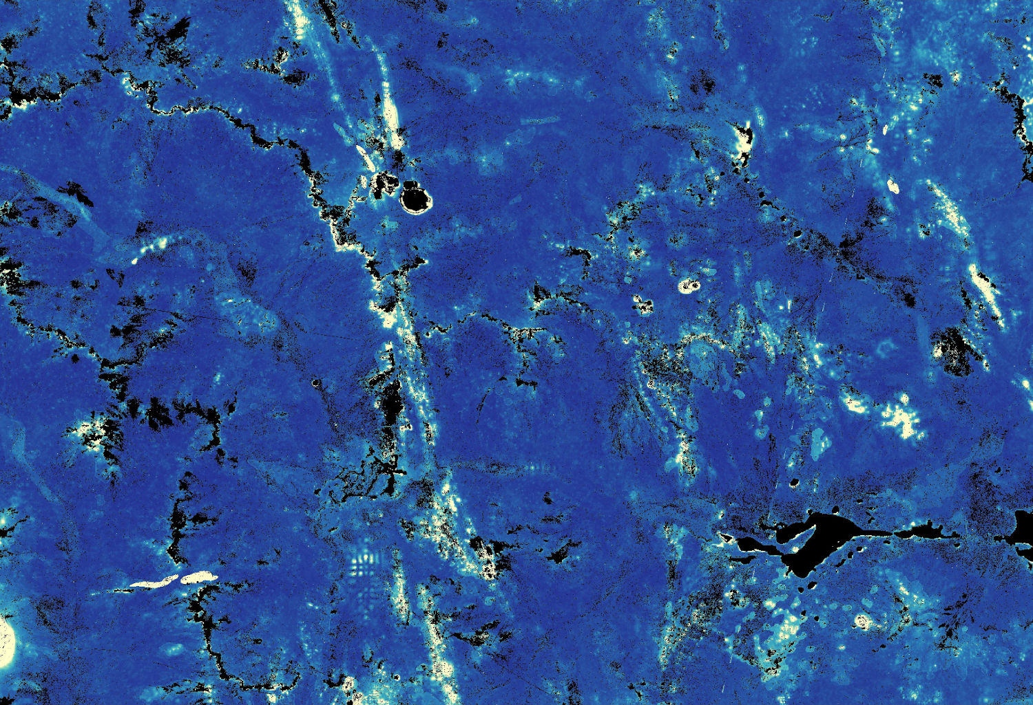
Landshark is a set of python command line tools that for supervised learning problems on large spatial raster datasets. It solves problems in which the user has a set of target point measurements, such as geochemistry, soil classification, or depth to basement, and wants to relate those to a number of raster covariates, like satellite imagery or geophysics, to predict the targets on the raster grid.
Landshark fills a particular niche: where we want to efficiently learn models with very large numbers of training points and/or very large covariate images using TensorFlow. Landshark is particularly useful for the case when the training data itself will not fit in memory, and must be streamed to a minibatch stochastic gradient descent algorithm for model learning.
Please see the Landshark project page for more information.